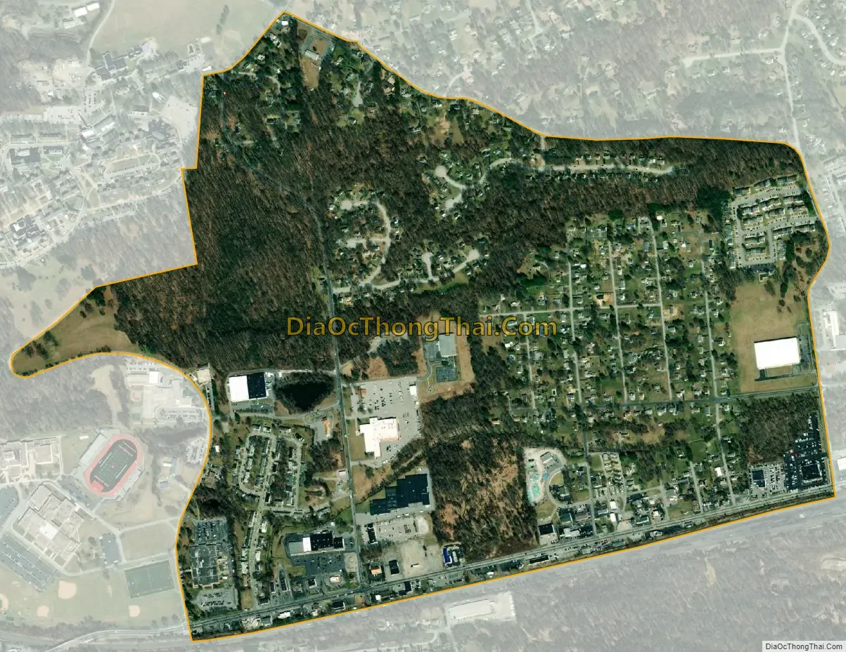
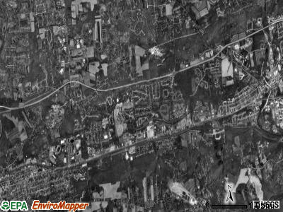
Caln is a census-designated place (CDP) in Caln Township, Chester County, Pennsylvania, United States. The population was 1,519 at the 2010 census. It is located east of the city of Coatesville and lies west of Philadelphia.
Geography
Caln is located at 39°59′25″N 75°46′48″W. The Lincoln Highway, also known as U.S. Route 30 Business, forms the southern edge of the CDP. Caln CDP extends north as far as Pennsylvania Route 340. According to the U.S. Census Bureau, the CDP has a total area of 0.81 square miles (2.1 km2), all land.
Demographics
Education
The school district is Coatesville Area School District.
References